Tour des Combins | Complete Guide
This complete guide covers trail statistics, different route options, and helps you determine if this epic adventure is right for you.
Hike around the majestic ‘Combins Massif’ (4,314m), one of the highest in the Alps, located on the western end of the Pennine Alps. Experience both Swiss and Italian alpine culture as this journey leads you on mostly remote trails past rich historical sites, impressive engineering feats, dramatic glaciers and the famous Mont Blanc massif. Stay in spectacular mountain huts, comfortable hotels, or campgrounds along this alpine trail.
KEY TRAIL STATS for “CLASSIC” ROUTE
Countries: Switzerland and Italy
Number of days: Between 7 and 11 days
Distance: 140km / 87mi
Elevation gain: 8,450m / 27,750ft
Highest point: 2,863m / 9,393ft (Col des Otanes)
Season:
Early: Mid-June to end June.
Peak: Start July to end August.
Late: September
Difficulty: Moderate
Traffic: Low, much less crowded than neighbouring trails i.e Tour du Mont Blanc
Start/end points: Typically Saint Bourg-Pierre, however Mauvoisin, Verbier/Le Chable, Grand St Bernard Pass or Saint-Oyen are all good options.
Tour des Comins: High level map from our planning app showing the trail circumnavigating the Grand Combins massifs, which intersects the Italian and Swiss border. The city of Geneva to the West and Turin to the South.
Where is the Tour des Combins?
The Tour des Combins is a world-class multi-day hiking journey around the Combins Massif that borders Switzerland and Italy. Its peak stands at 4,314m / 14,153ft, rivalling its much more famous neighbour Mont Blanc at 4,808m / 15,774ft. The trail travels through 3 regions - Valle d’Aosta in Italy and, Val d’Entremont and Val de Bagnes in Switzerland.
In 2023, the Associate du Grand Tour des Combins re-launched the trail with an extension of the original route to include new highlights such as the route via Rifugio Frassati, La Fouly village and La Tsissette Hut, bringing the new route to 140km / 87mi. Older guidebooks are likely to follow the older route which was 100km / 62mi. Our planning app includes trails from the “old” route, the “new” route and also our own personal favourite add-on routes to enable hikers to create an itinerary that suits them!
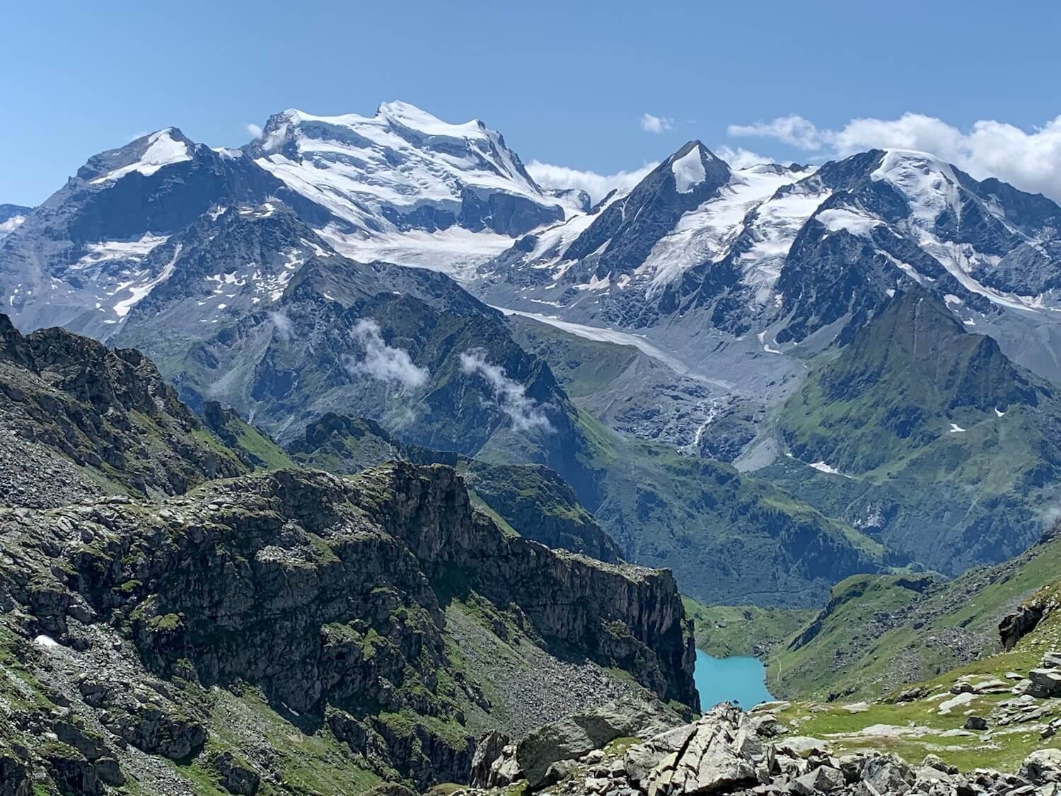
Snow capped peak of Grand Combins dominates the view as you circumnavigate the massif that borders Switzerland and Italy.
CLASSIC Trail Highlights
Grand Saint-Bernard Pass - the third highest road pass in Switzerland, at an elevation of 2,469 m (8,100 ft) and one of the most ancient passes through the Western Alps. Also famous for St Bernard dogs that were used in rescue operations by the Hospice, founded in 1049 and still in operation today as a mountain hotel.
Corbassière Glacier - Get up close to this spectacular glacier that is 9.8km / 6.1mi long, average 1km / 0.6mi width and covers an area of 17.4km2 / 6.7m2.
Corbassière Footbridge - This is one of the highest galvanised steel structures in Europe, sitting 70m / 230ft above the ground. The 190m / 623ft long bridge connects Brunet and Panossière huts and allows hikers to safely cross the moraine.
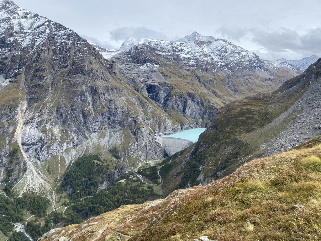
Mauvoisin Dam / Lac - This hydroelectric arch dam is the highest in Europe, standing at 250m /850ft high and 520m / 1710ft long. The lake is glacier fed and is 5km / 3mi in length.
ALTERNATE TRAIL HIGHLIGHTS
There are many alternative routes to include additional highlights, avoid challenging sections or skip parts by going more direct. Details of these alternate routes (and more) are available within our planning app.
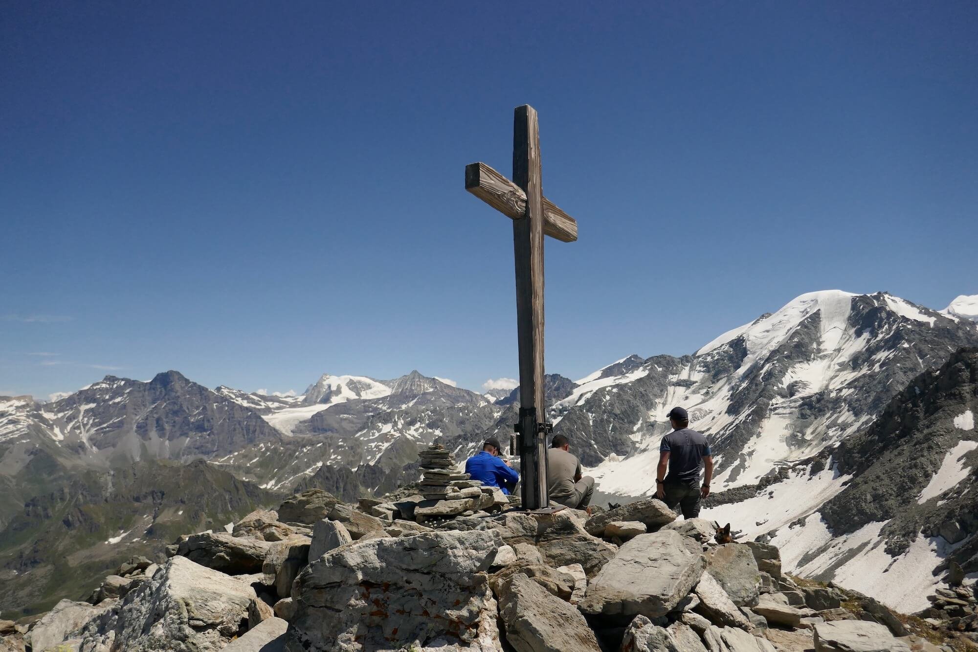
Mont Rogneux - An alternate route that summits to 3,084 m / 10,118 ft, rewarding breathtaking views of the Pennine Alps, including Liddes and Verbier.
Sentier des Chamonis - A balcony trail beneath the infamous Bec des Rosses but far above Val de Bagnes (Bagnes Valley). On a clear day, the Combins massif draws your attention across the valley.
Route via Lac de Louvie - A balcony trail through the second-largest nature reserve in Switzerland, Haut Val de Bagnes. There are regular sightings of ibex and marmots and breathtaking views across the valley onto the Combins massif.
Champex Lac - This route is made famous by the UTMB trails passing here every August. It is easy to follow and well signposted through forest and urbanisation. At this beautiful lake you can hire a row boat, fish or have a dip if the water isn’t too cold.
WHAT TYPE OF ACCOMMODATION IS AVAILABLE ON THE tour des combins?
There are 75+ accommodation options along the Tour des Combins, ranging from mountain huts (also known as rifugios (Italian) and refuges (French)) that are typically located in remote areas, to guest houses, hotels, B&Bs and campgrounds that are located in the alpine villages along the trail. In our planning app you can mix and match the best options for you along your preferred route.
ready to start planning your tour des combins hike?
How long is the Tour des Combins?
The “classic” route around the Combins Massif is 140km / 87mi, with 8,450m / 27,750ft in elevation gain Hikers are required to climb over 13 mountain passes, the highest being Col des Otanes at 2,870m / 9,416ft.
There are alternate routes that change the distance and elevation, either to take a more direct route (such as Mont Rogneux trail), or to reach a specific highlight (such as Champex Lac or Lac de Louvie trail).
It typically takes between 7 and 11 days to complete the Tour des Combins. It depends on which route you decide to take, your hiking speed, the desired number of hiking hours per day and whether you will use transport.
Note: In 2023, the Associate du Grand Tour des Combins re-launched the trail with an extension of the original route to include new highlights such as the route via Rifugio Frassati, La Fouly village and La Tsissette Hut, bringing the new route to 140km / 87mi. Older guidebooks are likely to follow the older route which was 100km / 62mi. Our planning app includes trails from the “old” route, the “new” route and also our own personal favourite add-on routes to enable hikers to create an itinerary that suits them!
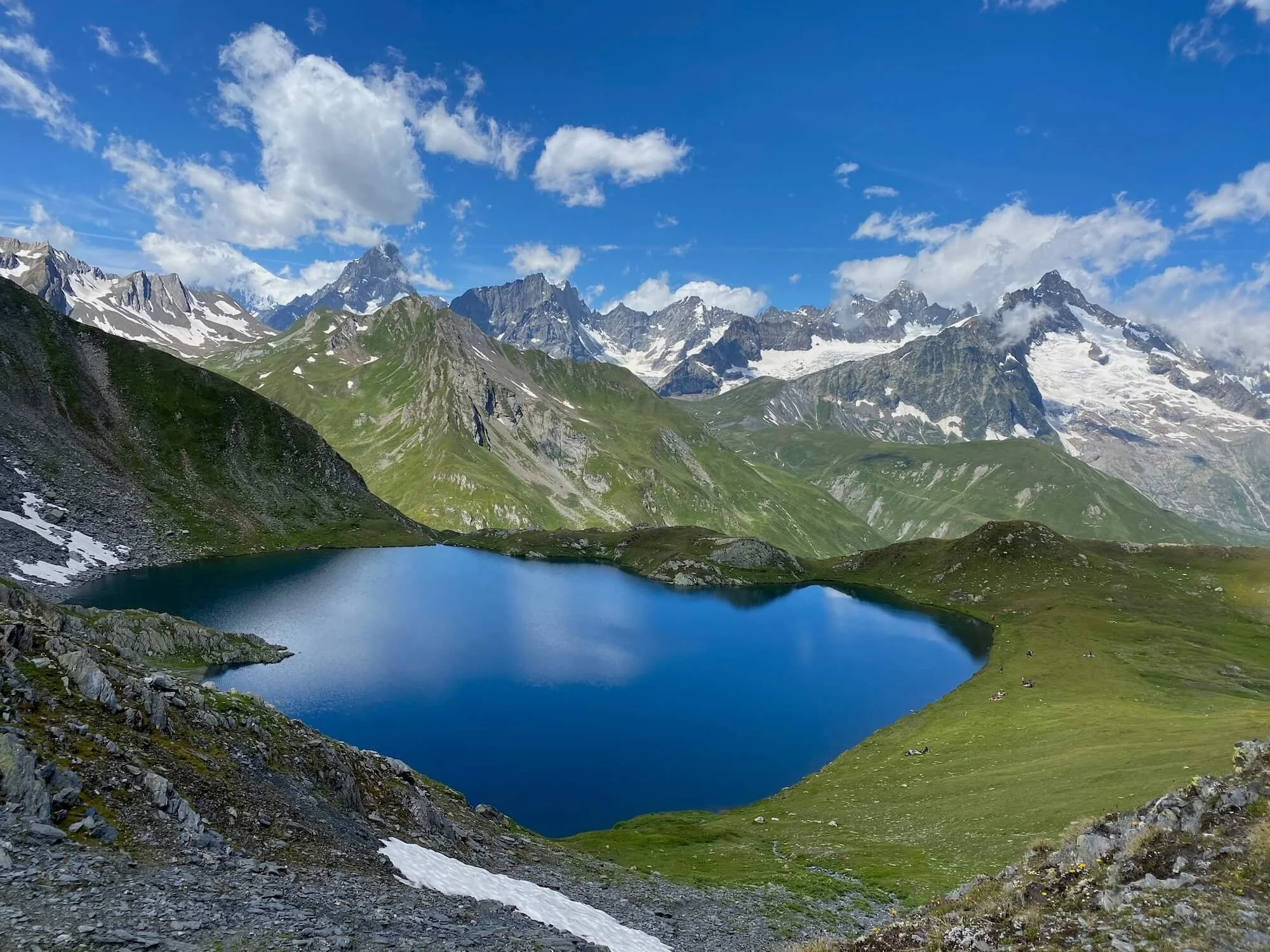
Lac de Louvie - a stunning alternative trail
when is the best time to hike Tour des Combins?
The views of the Grand Combin and Mont Velan from the majestic Grand St. Bernard Pass
The best time to hike the Tour des Combins is the start of July until mid September.
This is a high alpine trail with multiple mountain passes between 2,500 - 2,900m or 8,000 - 9,500ft and therefore most hikers prefer to wait until most of the winter/spring snow has melted on the trails, especially in the steeper, rockier areas.
During July and August, hikers are most likely to have the best trail conditions, weather and accommodation options. Typically, daylight is longer, there is less chance of rain, no/low snow on the trails, warm temperatures, alpine flowers in full bloom and lush meadows. The Alps are a paradise during these months.
Nevertheless, the Alps are no different than any other high mountain range in the world. The weather can turn at any point. There is the possibility of thunderstorms developing later in the day and don’t be surprised if you wake up to fresh snow in the higher altitudes.
How popular is the Tour des Combins?
Mauvoisson Dam - a popular day-hiker destination
Unlike the nearby Tour du Mont Blanc, the Tour des Combins is a relatively quiet trail. You will find it easier to get hut reservations and during your hikes you will meet people every day, but you will always be able to find a quiet spot for lunch or hike alone for an hour or two.
There are certain sections that are frequented by day-hikers and certain huts that are either accessible by car/public transport (such as Grand St. Bernard Pass, Mauvoison Dam and Cabane Brunet), which result in higher traffic, especially on weekends. However, this should not hold you back from going as most hikers go home or back to a nearby village in the evening and you are lucky enough to stay on the trail.
Where does the Tour des Combins start and end?
The Tour des Combins is a circumnavigation of the Combin massif, the main trail does not summit any of the peaks on the massif. It passes through numerous towns and villages which allows hikers to select the different start/end location. The most popular start/end locations are:
Bourg-Saint-Pierre, Switzerland: ~3 hours by train/bus from Geneva airport. It has a range of accommodation options, from hotels to camping. There are no stores/shops to buy food or gear, but food is available at a handful of restaurants and hotels.
Le Chable: ~3 hours by train/bus from Geneva airport. There are plenty of shops to buy food and gear and many accommodation options and chair lifts to start from a higher point on the main trail or an alternative via Verbier.
Mauvoisin, Switzerland: ~3 hours by train/bus from Geneva airport, but transfers are less frequent than Saint Bourg-Pierre. There is only one hotel here and no stores/shops.
Saint-Oyen, Italy: 4-5 hours by train/bus from Geneva or Milan airport. A handful of accommodation and food options available.
All these locations are available in our planning app to select as your “start” or “end” point, with associated transport details.
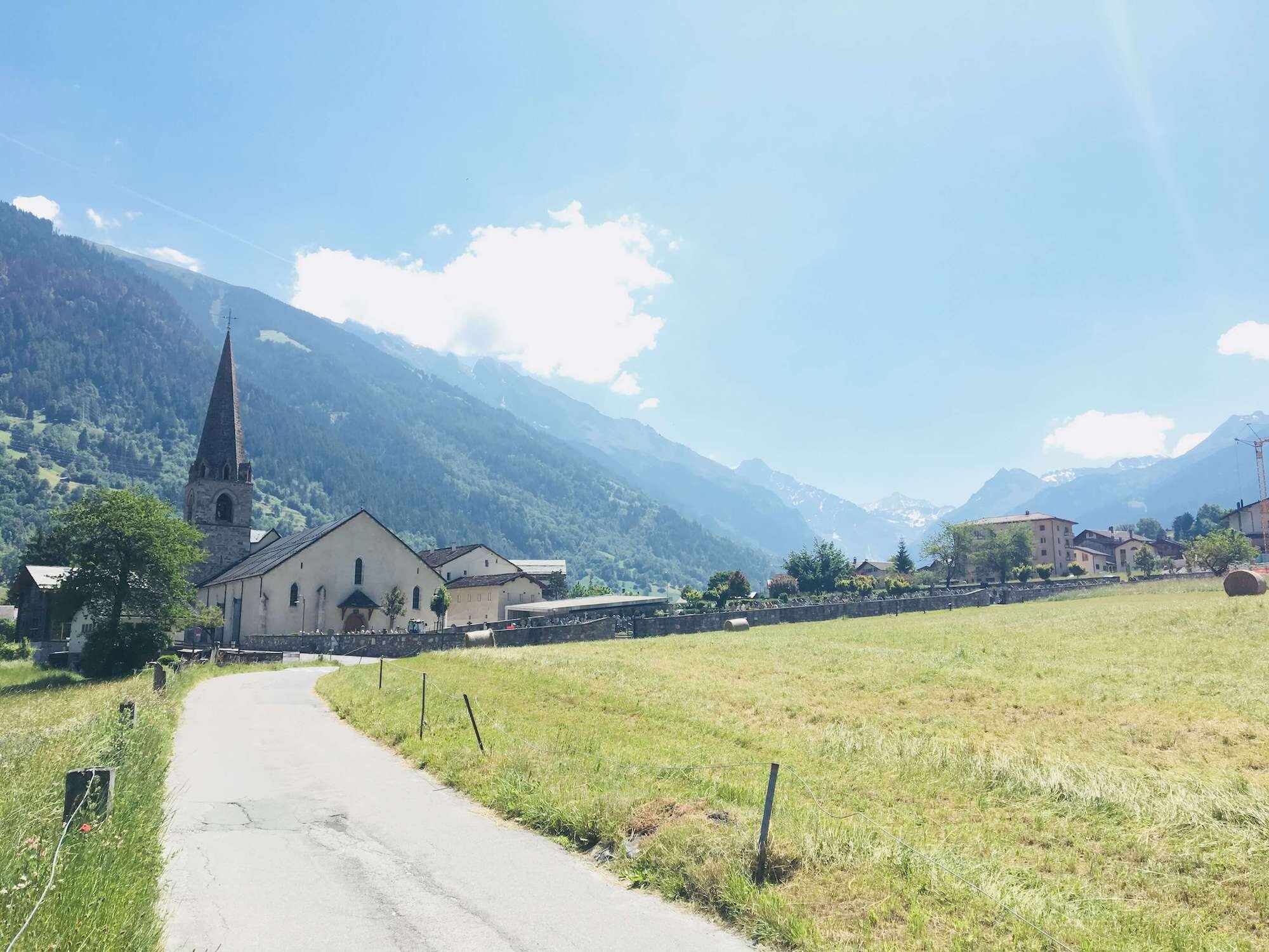
Le Chable, one of the start/end locations along the trail
How difficult is the Tour des Combins?
The Tour des Combins is considered a moderately challenging multi-day trek, suitable for experienced hikers who are comfortable with mountain terrain and longer hiking days. Proper planning and gear are important for safely and comfortably completing this demanding and rewarding trail.
Corbassière Footbridge - This is one of the highest galvanised steel structures in Europe, sitting 70m / 230ft above the ground. The 190m / 623ft long bridge connects Brunet and Panossière huts and allows hikers to safely cross the moraine.
Here are the main factors that contribute to its difficulty:
Length and Duration: The Tour des Combins spans approximately 140 km / 87mi, depending on the chosen route and any detours. This makes it shorter than the Tour du Mont Blanc, which is 170km (100 miles). It typically takes 8-12 days to complete.
Elevation Gain: The trail features significant elevation changes, with a total elevation gain of 8,450m / 27,750ft. This includes several challenging ascents and descents over 13 mountain passes.
High-Altitude Terrain: The trail traverses high-altitude areas in the Swiss and Italian Alps, with passes often exceeding 2,500m (8.200 feet). At this altitude the effects of altitude sickness are rarely felt.
Technical Sections: While it is not a technical route, certain parts of the trail include rocky, steep, or exposed sections that require sure-footedness and confidence in navigating uneven terrain. Some areas may be snow-covered, particularly early or late in the season.
Weather Conditions: The Tour des Combins is subject to typical high-altitude alpine weather, which can change rapidly and include rain, snow, or strong winds even in summer. Proper gear and preparation for varying conditions are important.
Remote Sections: Some parts of the trail are more remote, with fewer options for resupply or emergency assistance. Hikers need to plan food, water, and gear carefully, and be prepared for long stretches without access to towns or facilities.
How much does it cost to hike the Tour des Combins?
The cost of hiking the Tour des Combins can vary significantly depending on factors like accommodation choices, food preferences, and transportation. Here's an estimate of potential costs for those self-booking to help you plan:
Accommodation: The cost of lodging can range from budget to more expensive options:
Mountain huts (refuges): Typically range from CHF 40-80 (USD 45-90) per night, often including breakfast. Half-board (dinner and breakfast) can be around CHF 60-120 (USD 65-135).
Hotels or guesthouses in small villages may cost CHF 100-200 (USD 110-220) per night, depending on the level of comfort.
Food: Meals in mountain huts can be relatively expensive due to their remote locations. Budget for:
Meals at huts: Dinner is usually CHF 20-40 (USD 22-45) for a three course meal.
Lunches/snacks: Packed lunches bought from huts or stores may be CHF 10-20 (USD 11-22).
Self-catering: If you bring your own food and cook, costs will be lower but require planning and carrying supplies.
Transportation: Getting to and from trailheads and possible mid-route transfers can add to costs:
Bus/train tickets to trailheads can range from CHF 20-50 (USD 22-55) or more, depending on distance.
Cable cars or mountain transport, if needed, can cost CHF 20-40 (USD 22-45) per trip.
Cabane de Mille with Mont Blanc massif in the distance
Estimated Total Cost:
Budget travelers (camping, minimal hut stays, self-catering): Around CHF 500-1,000 (USD 550-1,100).
Mid-range budget (mix of huts and hotels, some meals included): Around CHF 1,200-2,000 (USD 1,300-2,200).
Comfortable budget (hotels, meals, transport): CHF 2,000+ (USD 2,200+).
Costs can vary based on personal preferences and specific choices. Planning and booking in advance can help manage expenses and secure accommodations.
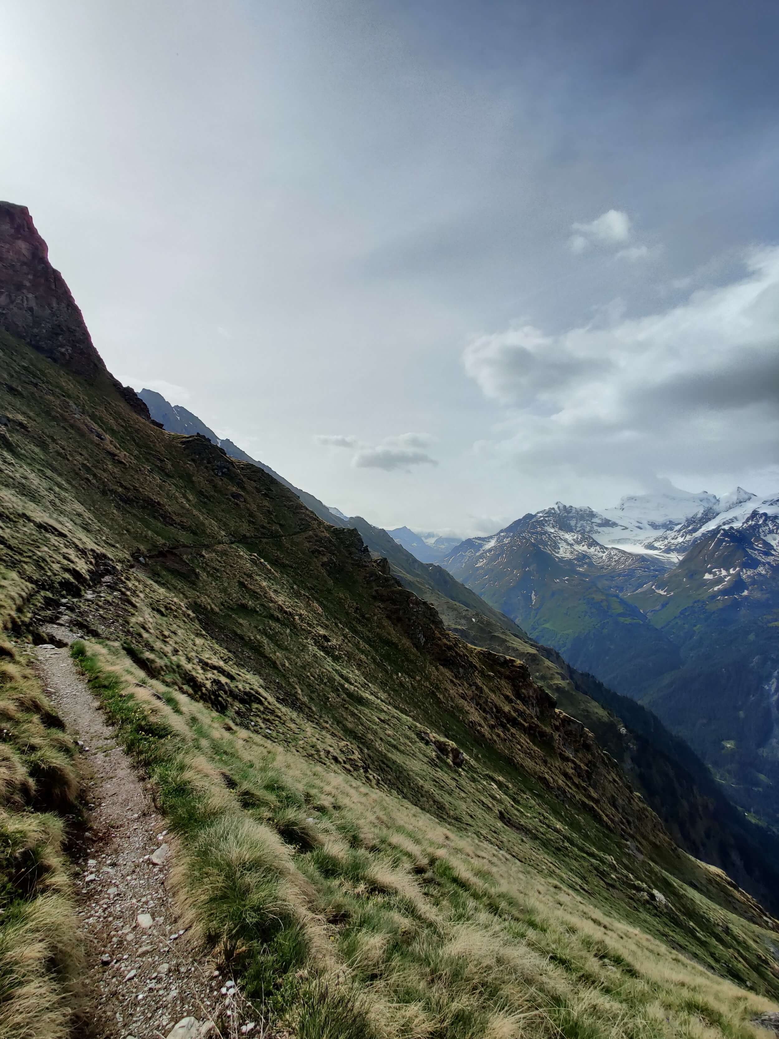
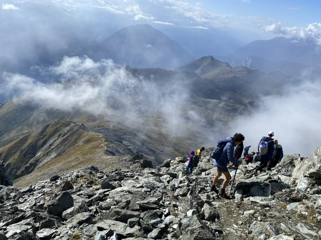
Route between Cabane Brunet and Col des Avouillons
Is it possible to camp along the Tour des Combins?
Yes, it is possible to camp along some sections of the Tour des Combins, but not the whole route due to local government restrictions. Therefore, many people who are keen interested in camping, stay in huts/hotels in the nights that camping isn’t possible.
Here are some important considerations to keep in mind when planning a camping-based hike on this trail.
Designated campsites: Located in villages and valley areas along the trail, these campsites typically offer basic amenities like toilets, showers, and sometimes even small shops or restaurants.
Wild Camping (bivouac): It is permitted in some parts of Switzerland and Italy, but there are very strict rules put in place by the national and local governments. Wild camping is generally allowed in more remote areas at elevations above the tree line and working pastures/meadows, but it is restricted in national parks, nature reserves, or near villages and towns. Unlike some European huts where camping near huts is welcomed, on the Tour des Combins, it is not. Where wild camping is permitted, you must also only pitch your tent between sunset and sunrise.
All designated campsites along or nearby the trail are listed in our planning app, with images, location details and hiking stats to get to/from the trail.
Camping de Champsec - basic campground with showers, shop, laundry and cooking facilities
Are there transport shortcuts on the Tour des Combins?
Yes, there are some transport shortcuts available on the Tour des Combins, which can help hikers reduce elevation gain or save time on certain sections of the trail. These options are typically provided in the form of cable cars, chairlifts, or buses, which can bypass some of the steeper ascents or long stretches of the hike. However, it's important to note that using these transport options may change the overall experience of the trek by shortening some of the more challenging sections, but it can make the hike more manageable for those seeking to reduce physical strain or manage time more effectively.
Our planning app and GPS map include all transport schedules and costs for the upcoming season.
Alternative route via Mont Rogneux
